Surveying Services
Expert Land Surveying Services from Seasoned Professionals.
What we do
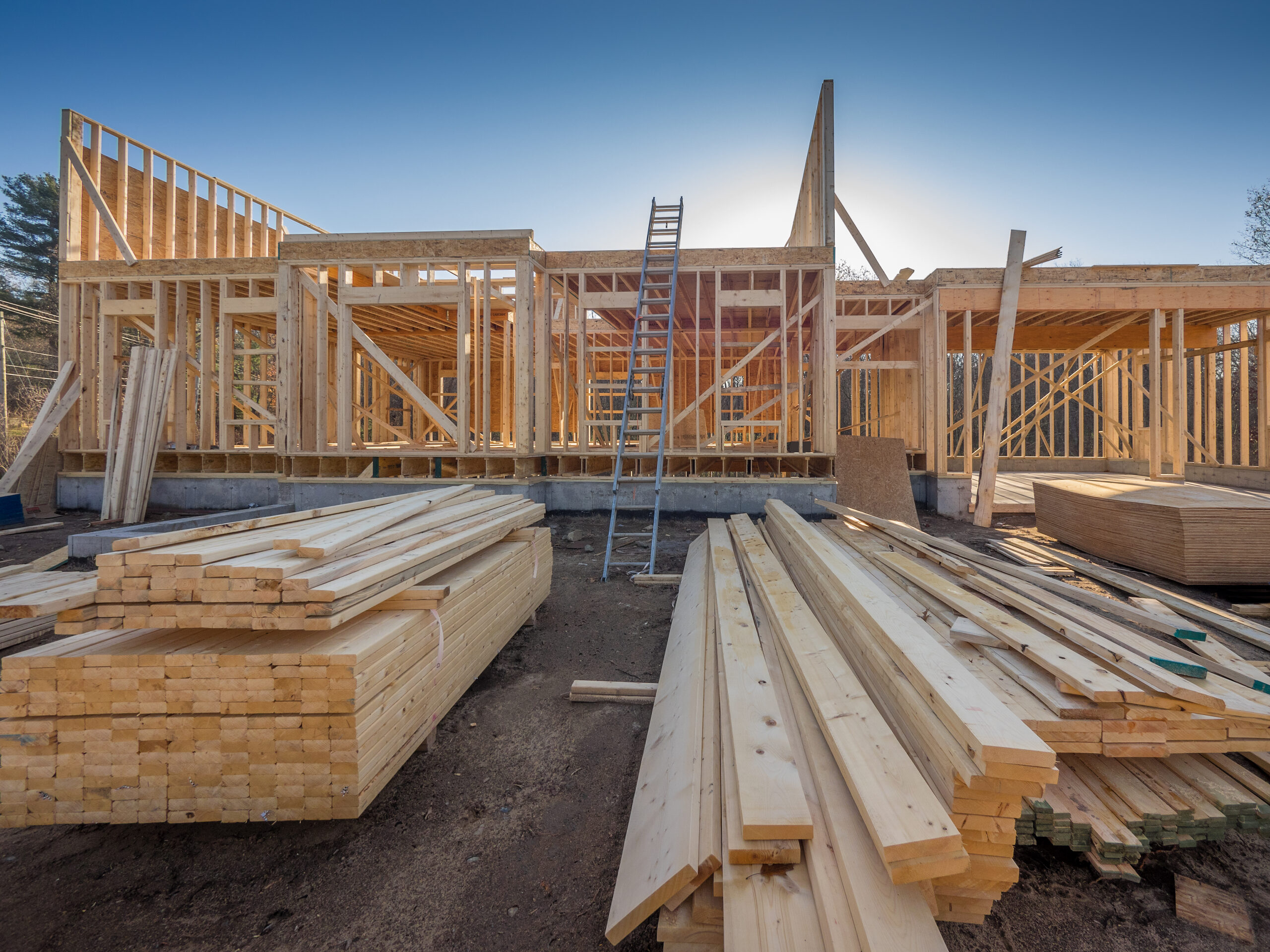
Land Surveys and Mapping
Our specialty is conducting and producing Mortgage Property Survey Plans, Boundary Survey Plans, and Plot Plans for Real estate attorneys, property owners, buyers or sellers. If you need the boundaries of your current land, or land to be purchased established for the purposes of obtaining a mortgage, selling lands, buying land improving land, building on land, or subdividing land, the professionals at AES have you covered. See below for additional service including Elevation Certificates for FEMA. Call today to schedule your land surveying needs!
Mortgage Survey Plan
Buying a home? Come see us to provide you or your attorney handling the title transfer settlement with an accurate survey map of your new property!
A mortgage survey plan is different from a boundary survey and is not used for construction or for boundary determinations. A mortgage location survey is usually requested by your mortgage lender or title insurance company and is intended to provide proof that certain improvements are actually located on the property as described in the legal description. These surveys identify the major buildings on your property such as the house, garage, and sheds or other structures, as well as whether your property encroaches on any neighboring properties or easements. Likewise, these surveys determine whether any neighboring properties encroach on your property.
Boundary Survey Plan
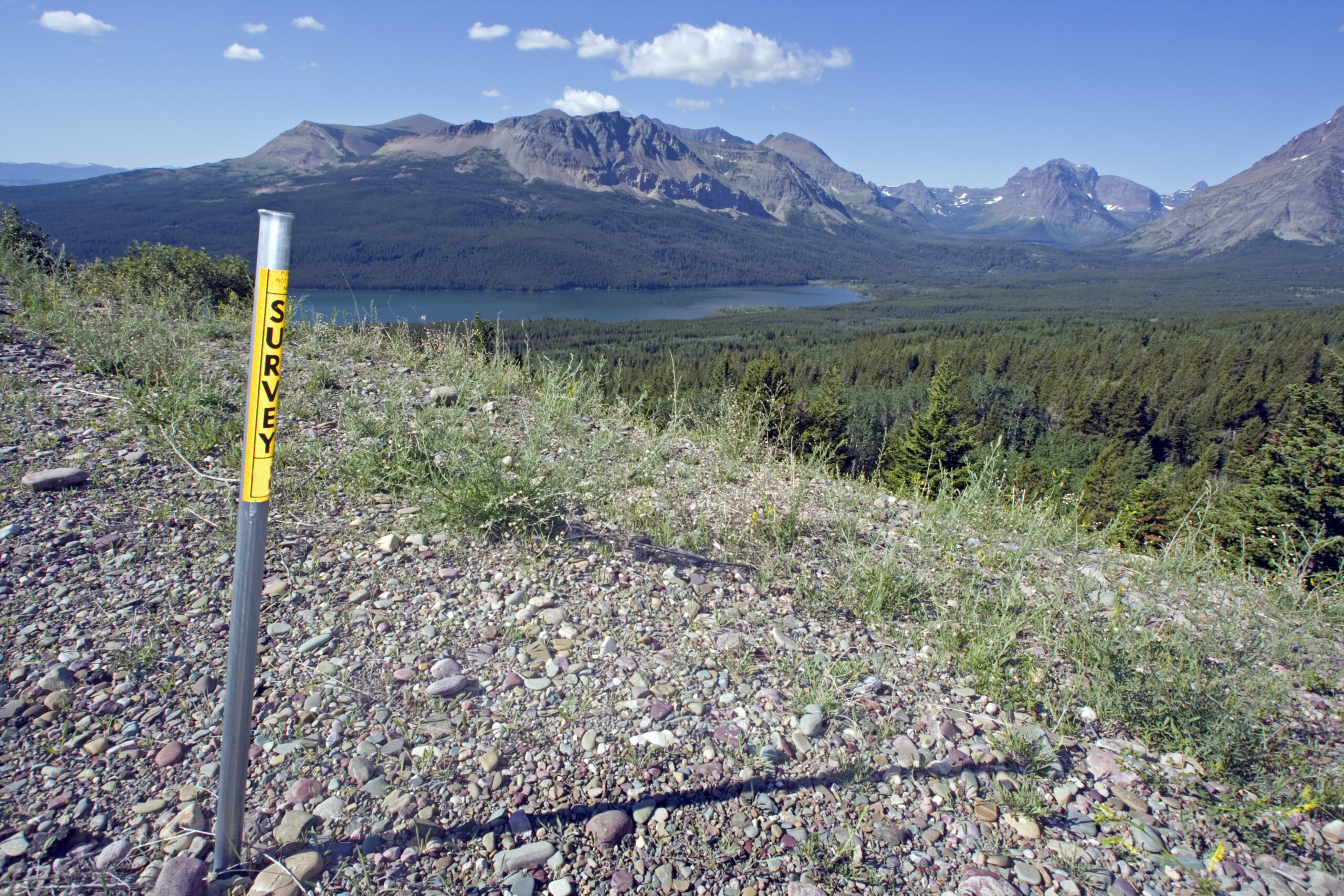
A Boundary Survey is the process carried out to determine property lines and define true property corners of a parcel of land described in a deed. It also indicates the extent of any easements or encroachments and may show the limitations imposed on the property by state or local regulations. Easements may include a utility line easement crossing the subject property to a neighboring property or appurtenant like the right to cross another property for access to a public road. On the other hand, the use of a piece of land by an individual other than the owner unaccompanied by an authority to do so is generally termed as encroachment.
Boundary surveys are an important procedure for anyone buying a property of any type. They are typically performed prior to buying, subdividing, improving or building on land. Surveying the parcel before these activities ensures avoidance of future disputes, the expense and frustration of defending a lawsuit, moving a building, or resolving a boundary problem.
ALTA SURVEYS

A land survey done according to the standards set forth in the ALTA/ACSM Land Title Survey Specifications is known as an ‘ALTA Survey’. Here, ALTA refers to The American Land Title Association, and ACSM means The American Congress on Surveying and Mapping. The sole aim of ALTA surveys is to promote standards and nationwide uniformity in land survey information. These surveys are more common for commercial land use rather than residential.
Elevation Certificate
A flood elevation certificate is prepared by a licensed surveyor or engineer and includes comprehensive information relative to a property’s elevation to determine if it is below or above the base flood elevation. The data helps to suitably rate flood-prone properties for flood insurance eligibility. If your property/structure is situated in a flood zone, you should seriously consider obtaining its elevation certificate. A duly filled ‘Elevation Certificate Form’ is also attached with a Letter of Map Revision (LOMR) or Letter of Map Amendment (LOMA).
PLOT PLAN
Plot plan indicating the present or proposed use of a plot of land, especially one for a residential lot that indicates the location of structures and other important elements (such as easements or wells).
LAND Surveys
Trust the surveyors from A.E.S. Surveyors in Wilmington, Delaware, for all your land surveying needs. From mortgage surveys to plot plans, we're proud to cater to a wide clientele, including individual property owners, buyers, and sellers, and we look forward to serving you.
Why Us
Our extensive knowledge and wide range of services mean we have the right tools for any project. Whether large or small, we are ready to complete your project accurately within your time frame and budget.
PROJECTS
Vestibulum nec odios Suspe ndisse cursus mal suada faci lisis. Lorem ipsum dolor sit ametion elit. Vestibulum nec odios Suspe ndisse cursus mal suada faci lisis. Lorem ipsum dolor sit ametion elit.
Amercan Eastcoast Surveying & Mapping
Land Surveys
We provide complete surveying services to the Commercial, Residential, Industrial, and Governmental sectors focusing primarily in New Castle and Kent Counties.
Office Location
3913 Capitol Trail, Wilmington, DE 19808
Open Hours
info@aessurveyors.com